![]() USU
››
Programs for business automation
››
Program for clinic
››
Instructions for the medical program
››
USU
››
Programs for business automation
››
Program for clinic
››
Instructions for the medical program
››

Many organizations require a program to work with maps. The ' USU ' system is able to use geographic maps. Let's take a module as an example. "Clients" . For some patients, you can mark the location on a geographical map if you are working on the go. The exact coordinates are written in the field "Location" .
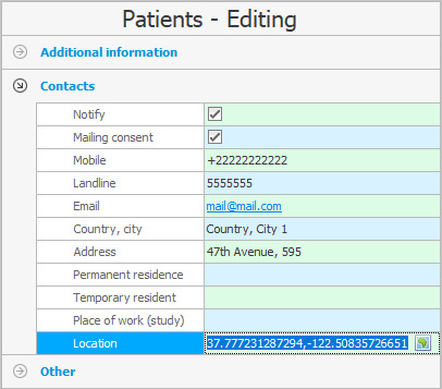
The program is able to store the coordinates of customers and their branches .
For example, if we "edit" customer card, then in the field "Location" you can click on the coordinate selection button located on the right edge.
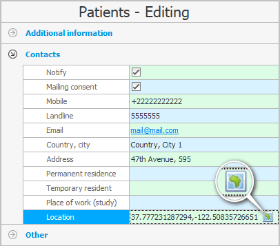
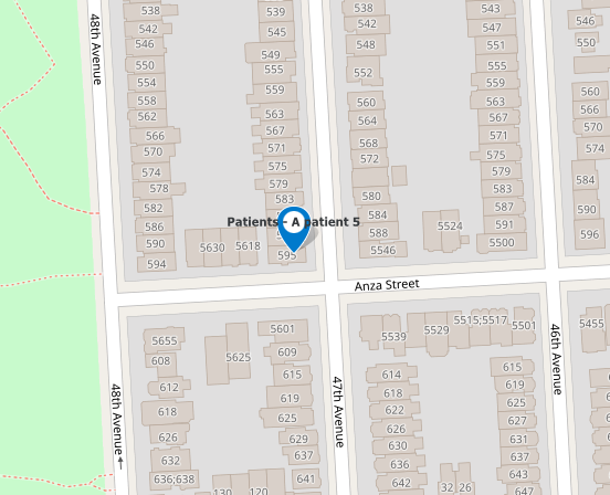
A map will open where you can find the desired city , then zoom in and find the exact address.
When you click on the desired location on the map, there will be a label with the name of the client for which you specify the location.
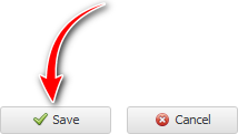
If you have chosen the correct location, click the ' Save ' button at the top of the map.
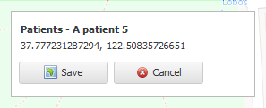
The selected coordinates will be included in the card of the client being edited.
We press the button "Save" .

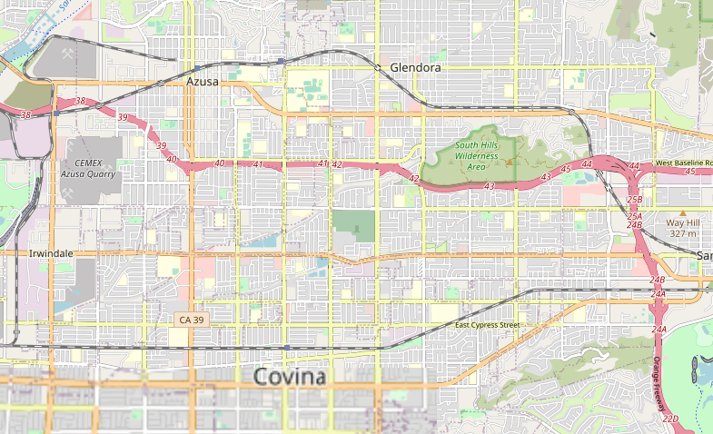
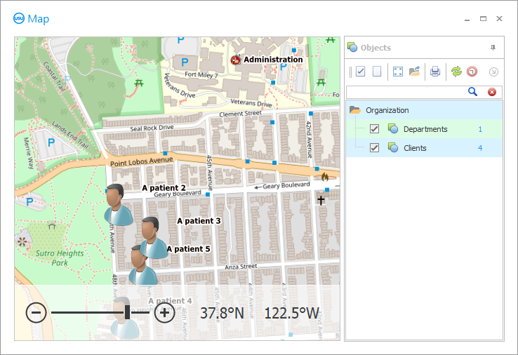
Now let's see how the clients whose coordinates we have stored in the database will be displayed. Top of the main menu "Program" select a team "Map" . A geographic map will open.
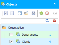
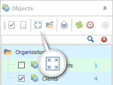
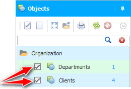
In the list of displayed objects, check the box that we want to see ' Clients '.
You can order the developers of the ' Universal Accounting System ' to change or supplement the list of objects displayed on the map.
After that, you can click the ' Show all objects on the map ' button so that the map scale is automatically adjusted, and all clients are in the visibility area.
Now we see clusters of customers and can safely analyze our business impact. Are all areas of the city covered by you?
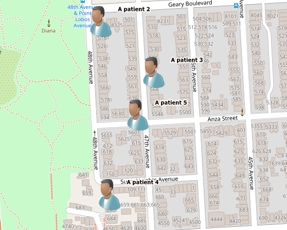
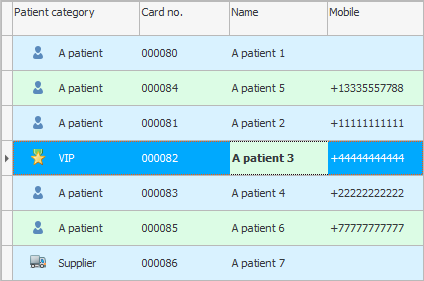
When customized, clients can be displayed with different images depending on whether they belong to 'Regular Patients', 'Problems' and 'Very Important' in our classification.
Now you can mark on the map the location of all your branches . Then enable their display on the map. And then look, are there more customers near open branches, or do people from all over the city evenly use your services?
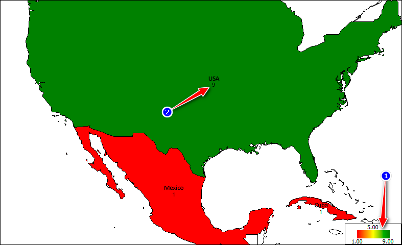
![]() The ' USU ' smart program can generate reports using a geographic map .
The ' USU ' smart program can generate reports using a geographic map .

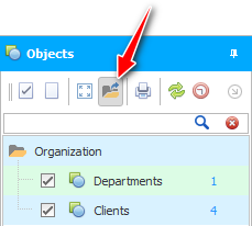
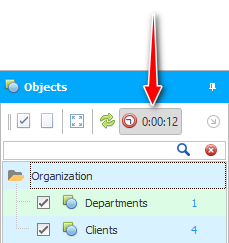
Please note that you can turn on or hide the display of various objects on the map. Objects of various kinds are located on the map in different layers. There is a separate layer of affiliates and a separate layer of customers.
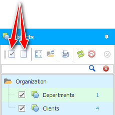
It is possible to enable or disable all layers at once.
To the right of the layer name, the number of objects is indicated in blue font. Our example shows that there is one branch and seven customers.

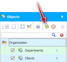
If not all objects on the map fall into the visibility zone, you can show everything at once by pressing one button.
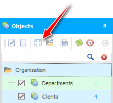
At this point, the map scale will automatically adjust to fit your screen. And you will see all objects on the map.

It is allowed to use the search to find a specific object on the map. For example, you can view the location of a client.
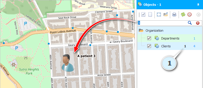

Any object on the map can be double-clicked to display information about it in the database.

If you have a low Internet speed, you can enable a special mode that allows you to download a map from a folder. And the map will be saved in the folder if before that you first work with the map without this mode.

' USU ' is a professional multi-user software. And this means that not only you, but your other employees can also mark something on the map. To see the map with the latest changes, use the ' Refresh ' button.
It is possible to enable automatic map updates every few seconds.
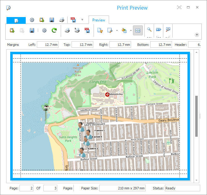
There is even a function to print the map along with the objects applied to it.
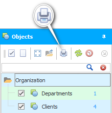
By clicking on the button, a multifunctional print settings window will appear. In this window, you will be able to prepare the document before printing. It will be possible to set the size of the document margins, set the scale of the map, select the printed page, etc.
See below for other helpful topics:
![]()
Universal Accounting System
2010 - 2026
 Download the program with interactive training